Recipes using cf


Version 3.15.3 for version 1.10 of the CF conventions.

Click on the keywords below to filter the recipes according to their function:
Calculating global mean temperature timeseries

Calculating global mean temperature timeseries

Calculating global mean temperature timeseries
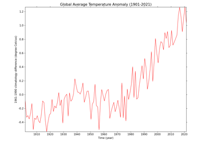
Calculating and plotting the global average temperature anomalies

Calculating and plotting the global average temperature anomalies

Calculating and plotting the global average temperature anomalies
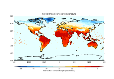
Plotting global mean temperatures spatially

Plotting global mean temperatures spatially

Plotting global mean temperatures spatially
Comparing two datasets with different resolutions using regridding

Comparing two datasets with different resolutions using regridding
Comparing two datasets with different resolutions using regridding
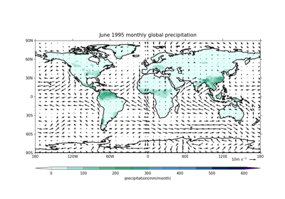
Plotting wind vectors overlaid on precipitation data

Plotting wind vectors overlaid on precipitation data
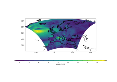
Plotting wind vectors overlaid on precipitation data
Converting from rotated latitude-longitude to regular latitude-longitude

Converting from rotated latitude-longitude to regular latitude-longitude
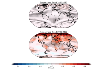
Converting from rotated latitude-longitude to regular latitude-longitude
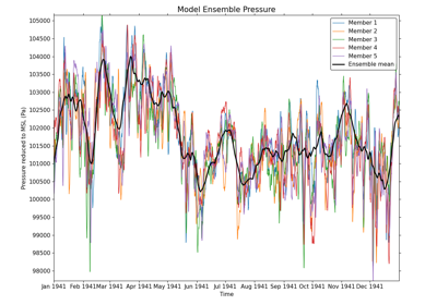
Plotting members of a model ensemble

Plotting members of a model ensemble

Plotting members of a model ensemble
Plotting statistically significant temperature trends with stippling

Plotting statistically significant temperature trends with stippling
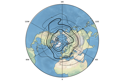
Plotting statistically significant temperature trends with stippling
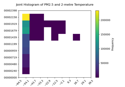
Plotting a joint histogram

Plotting a joint histogram

Plotting a joint histogram
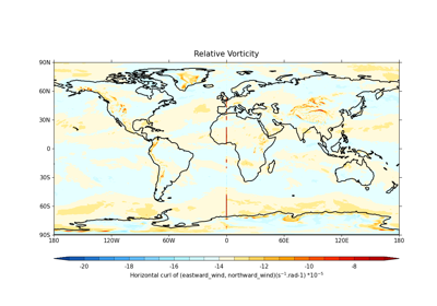
Calculating and plotting the relative vorticity

Calculating and plotting the relative vorticity

Calculating and plotting the relative vorticity
Plotting the Warming Stripes

Plotting the Warming Stripes

Plotting the Warming Stripes
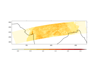
Using mask to plot Aerosol Optical Depth

Using mask to plot Aerosol Optical Depth

Using mask to plot Aerosol Optical Depth
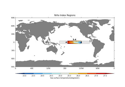
Calculate and plot the Niño 3.4 Index

Calculate and plot the Niño 3.4 Index

Calculate and plot the Niño 3.4 Index
Overlay Geopotential height contours over Temperature anomalies

Overlay Geopotential height contours over Temperature anomalies
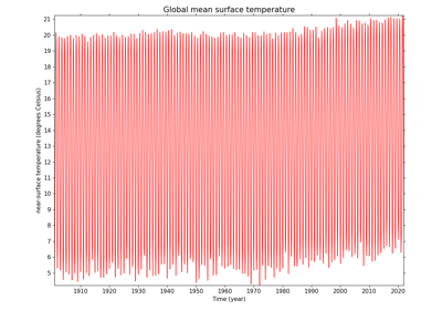
Overlay Geopotential height contours over Temperature anomalies
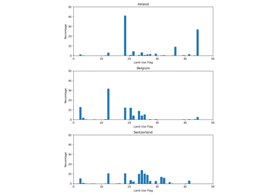
Resampling Land Use Flags to a Coarser Grid

Resampling Land Use Flags to a Coarser Grid

Resampling Land Use Flags to a Coarser Grid

Gallery generated by Sphinx-Gallery