Recipes using cf
Version 3.20.1 for version 1.13 of the CF conventions.
Click on the keywords below to filter the recipes according to their function:
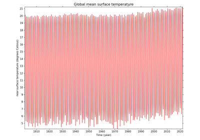
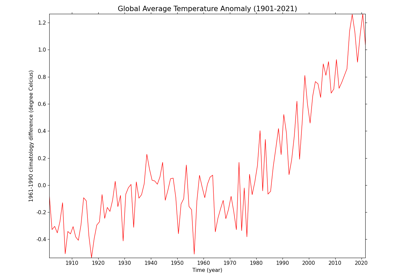
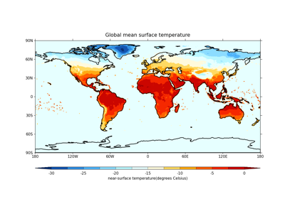
Calculating and plotting the global average temperature anomalies

Comparing two datasets with different resolutions using regridding
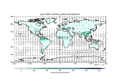
Plotting wind vectors overlaid on precipitation data
Converting from rotated latitude-longitude to regular latitude-longitude
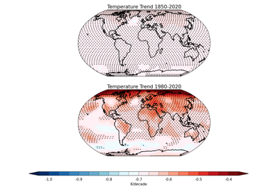
Plotting statistically significant temperature trends with stippling

Overlay Geopotential height contours over Temperature anomalies
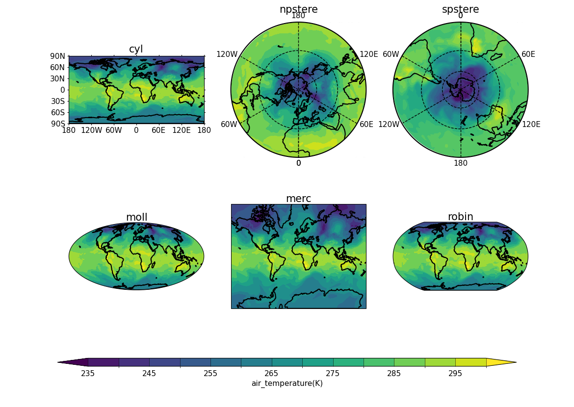
Plotting contour subplots with different projections
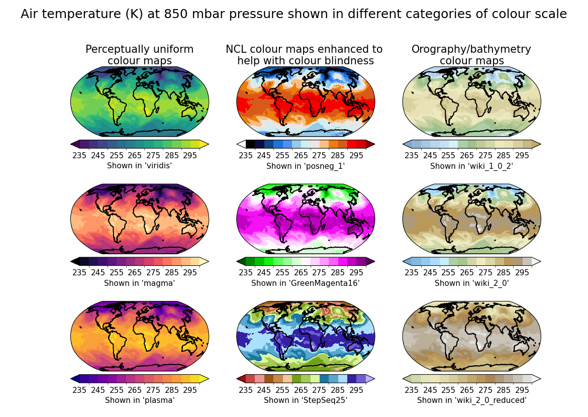
Plotting contour subplots with different colour maps/scales
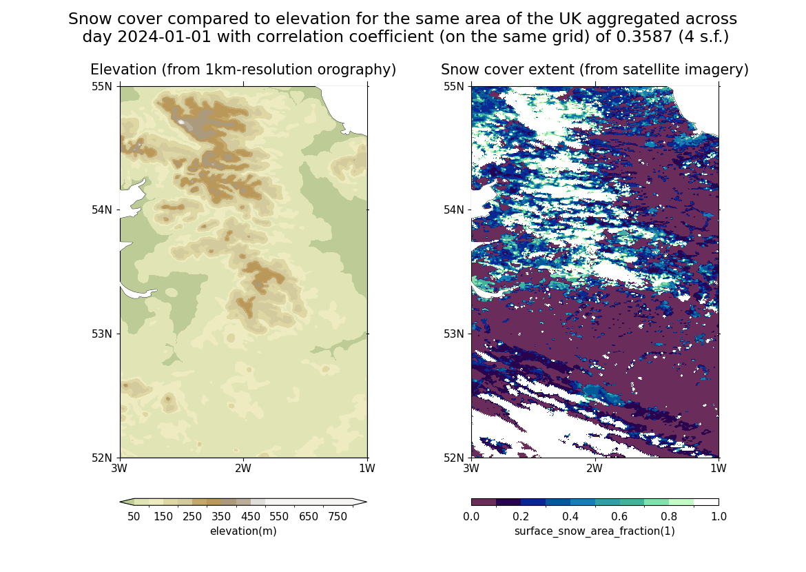
Calculating the Pearson correlation coefficient between datasets
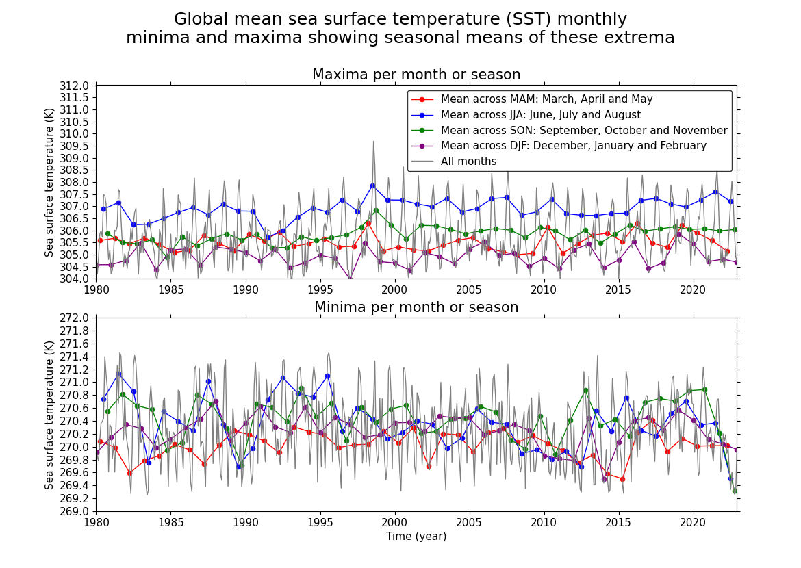
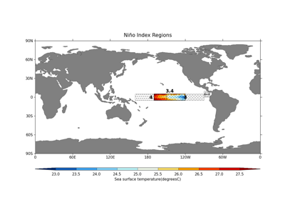
Plotting per-season trends in global sea surface temperature extrema
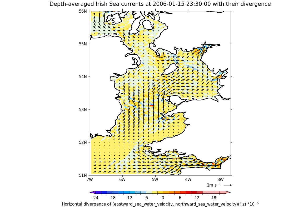
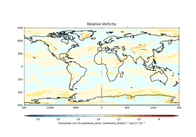
Calculating and plotting the divergence of sea currents